it looks like MyTopo just provides printouts of the USGS maps. go direct to the source and get the full size digital USGS maps yourself, for free (because you already paid for them via your federal taxes)
head over to
http://store.usgs.gov/ and click on "Map Locator & Downloader". zoom in to where you want a map and click "mark points" and mark the locations. then, click on the marker you placed on the map and it will give you all the map options that cover that location. the 7.5'x7.5' maps are very large and extremely detailed. and they are available for pretty much the entire country.
for example: here is about 1/20th of the wanaque area 7.5'x7.5' map
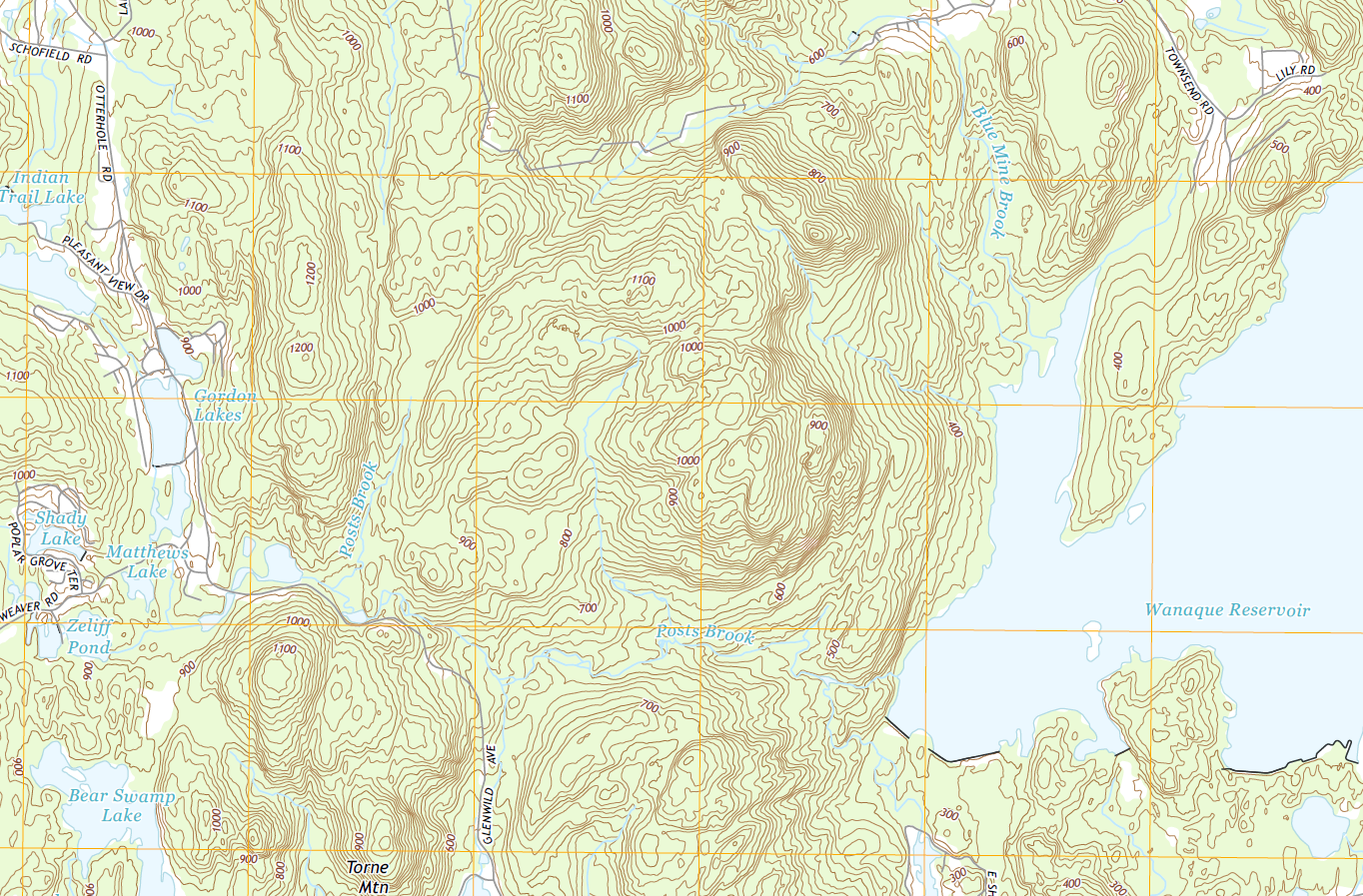 extremely
 detailed


